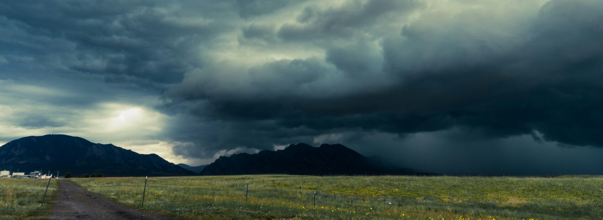

How Deforestation Amplifies Cloudburst Floods
While cloudbursts are meteorological events, their impacts are strongly shaped by land cover. Multiple studies show that deforestation—especially slope-side tree removal—raises flood peaks and sediment loads by disrupting the hillslope water balance:
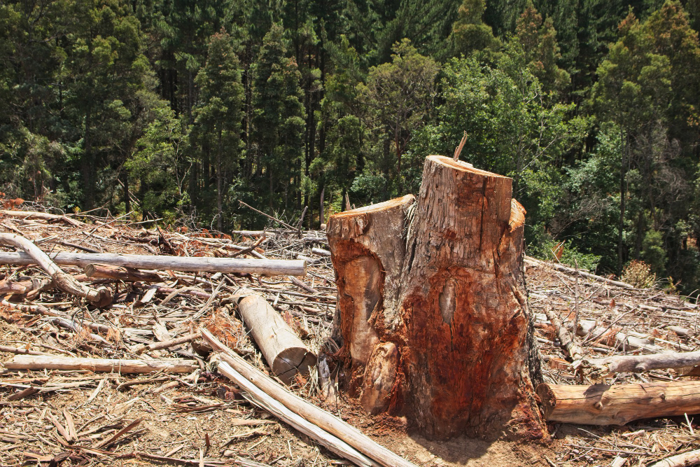
- Loss of natural absorption: Forest litter and porous soils act like a sponge, and roots slow subsurface flow. Removing trees accelerates overland runoff and shortens the time to peak discharge (Overview).
- More erosion and landslides: Roots stabilize slopes; their removal increases soil detachment and debris flows, adding destructive sediment pulses to floods (Soil erosion).
- Reduced evapotranspiration & interception: Canopies intercept rain and trees recycle moisture. With fewer trees, more water reaches the ground quickly, boosting flood volumes (Overview).
- Riverbank and channel instability: Loss of riparian vegetation weakens banks, making channels widen or avulse during flash peaks.
Quantitatively, research in snowy and mountainous catchments finds that deforestation can at least double—and in some cases quadruple—the number of large floods (AGU press release; Phys.org summary). Hydrological modeling and field data from small mountain basins likewise show higher peak flows and runoff coefficients after forest loss (MDPI Water).
Case Evidence from Recent Events
Pakistan (Swat & Northern Valleys)
Studies link forest loss with higher runoff and debris flows during intense monsoon bursts, compounding flood damage in steep valleys.
Indonesia
Investigations highlight how extensive deforestation has intensified flash floods and landslides following heavy rainfall.
Newsrooms covering recent Himalayan cloudburst disasters also underscore how degraded slopes and narrowed river corridors increase the toll when sudden downpours hit (AP News explainer).
Mitigation: What Reduces Risk?
- Reforestation & riparian buffers: Restore canopy interception, infiltration, and bank stability.
- Slope stabilization & debris-flow management: Bio-engineering, check dams, and sediment traps on active gullies.
- Risk-aware planning: Keep new housing and roads off alluvial fans, floodways, and unstable toes of slopes.
- Early warning & evacuation: Radar-based nowcasting, community alerts, and drilled evacuation routes cut fatalities.
Key Takeaway
Cloudbursts are unstoppable weather events, but their destruction is not inevitable. In mountain regions, deforestation strips away nature’s defenses—raising flood peaks, sediment loads, and landslide risk. Protecting and restoring forests is a proven way to reduce the human and economic toll of flash floods.
Evidence synthesized from AGU, MDPI Water, NHESS, AP News, and Phys.org.
References & Further Reading
- AP News — Cloudbursts in India and Pakistan: what they are
- Reuters — Flash floods after rare cloudburst (Buner, Pakistan)
- AGU — Deforestation in snowy regions causes more floods
- Phys.org — Summary of AGU findings
- MDPI Water — Forest cover change and flood response in mountain catchments
- NHESS — Hydro-geomorphic drivers of 2022 flooding in northern Pakistan
- AP News — Deforestation intensifying disasters in Indonesia